Free & mobile-friendly
Athens Walking Tour Map: The Whole Route, Pinned
A local's one-day walking loop on one map. Tap any stop for directions. No app, no sign-up, works on your phone as you walk.

Tour leader in Athens since 2009. 17 years walking these hills, 2,000+ guests from 40 countries.
Last updated: 18 July 2026
This is the walking route I actually walk on my small-group Athens walking tours, mapped so you can follow it on foot yourself. Six stops, roughly 8 to 10 km, strung together in the order that keeps you off the exposed hills at midday and puts you on top for sunset. Tap a pin for a directions link, and the blue dot shows you where you are.
The stops are numbered in walking order below. Follow them top to bottom for the full-day loop.
The Stops, in Walking Order
Each stop links to its directions on Google Maps. Start high and early, work the flat streets in the heat of the day, and finish high again for the sunset.
Start: Vallianeio Megaron
Panepistimiou 32, right outside Panepistimio metro
Where the walks begin, on the Red Line and a short stroll from Syntagma. Grab a freddo espresso and start here.
Plaka & Anafiotika
The old town, under the Acropolis rock
Neoclassical lanes and the island-style houses stuck to the hillside. Walk it before ten and you'll have it almost to yourself.
Acropolis Promenade
Dionysiou Areopagitou pedestrian walk
The car-free marble walk around the south slope, past the ancient theatres. The prettiest flat stretch in the city.
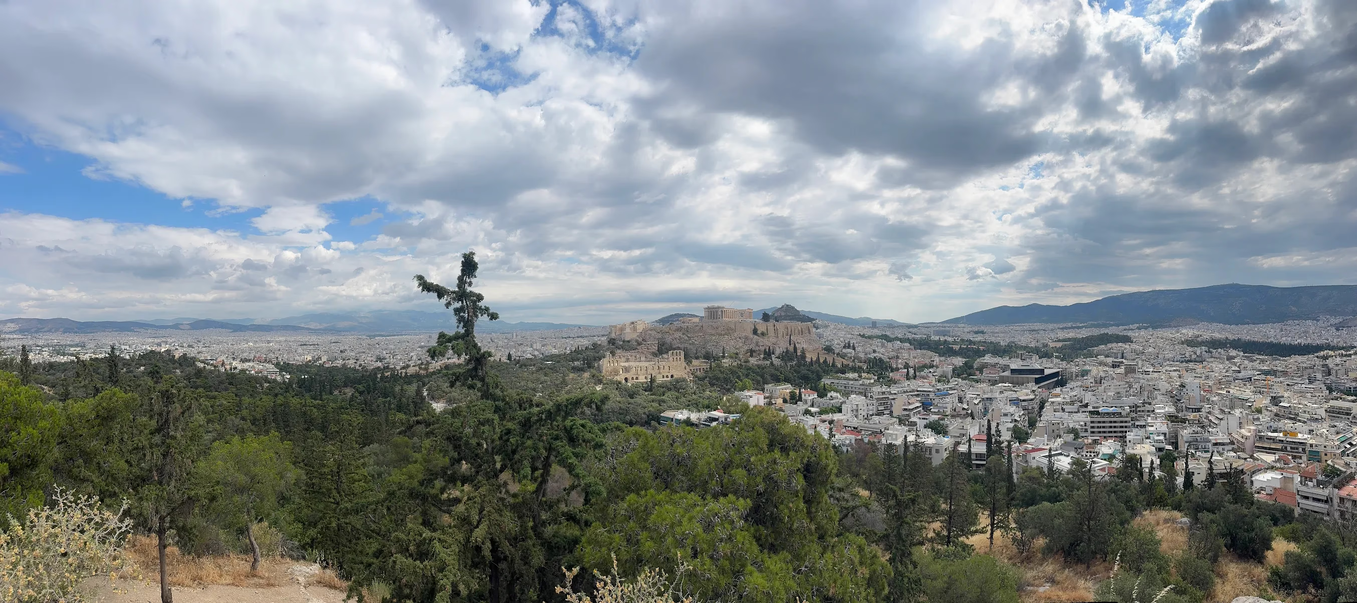
Philopappos Hill
Best free Parthenon view
A 15-minute pine-shaded climb to a face-to-face view of the Parthenon, no ticket, no crowds.
Monastiraki & lunch
Flea market and flat streets
The noisy heart of the old city. Come down here for a long lunch through the hottest part of the day.
Lycabettus Hill Summit
Highest point in Athens, 277 m
Saved for sunset. The whole basin laid out below you, the Acropolis lit gold and the sea beyond. On foot or by funicular.
Want the timings, distances and food stops for each leg? See the full Athens walking tour itinerary. For the why-and-how of walking it yourself, start with the self-guided walking tour route overview.
Use It Offline or Print It
Roaming data can be patchy on the hills, so it's worth setting up before you go. The easiest trick: open Google Maps, search central Athens, and download the offline area for the whole centre. The route is compact enough that a single offline download covers every stop on this map, so the blue dot still tracks you even with no signal.
Prefer paper? Screenshot the map above, or open each stop's directions link once while you have wifi and Maps will keep the area cached. Either way you're not relying on a live connection halfway up Lycabettus.
What the Map Can't Show You
A map gets you to each stop. It can't tell you the unmarked side path off Lycabettus to a balcony viewpoint that isn't pinned anywhere, or the exact five minutes when the light hits the Parthenon from Philopappos, or the timing that keeps you always one step ahead of the tour groups. That's the layer I add after 17 years of walking these hills every week.
Follow the map on your own, or come with me on the Athens hills climb walking tour and I'll handle the route, the timing and the hidden viewpoints while you just take it in.
"George took us to two of the most gorgeous hilltop views of the city. These places weren't touristy, so we got a clear view of the sea and all the landmarks."
Oliver He, Google review
Athens Walking Map FAQ
Is there a free walking tour map of Athens?
How do I use this map offline?
How far is the walking route on the map?
Can I follow the map without a guide?
Keep planning
Related Athens Walking Guides
Self-Guided Athens Walking Tour
Why walk it yourself, the route overview and what a local adds.
Athens Walking Tour Itinerary
The hour-by-hour plan with distances and food stops.
Lycabettus Hill Guide
Routes up, timing, the funicular and the best sunset spot on the 277m peak.
Philopappos Hill & the Pnyx
The best free Parthenon view and how to reach it on foot.
Best Photo Spots in Athens
Seven viewpoints with the angles and light that actually work.
Athens Hills Climb
The guided two-summit walk built around this map's best viewpoints.
Walk the Route with the Local Who Mapped It
Follow the map on your own, or let George handle the timing and the hidden viewpoints while you just take Athens in.
See what 2,000+ hikers say about their experience.